

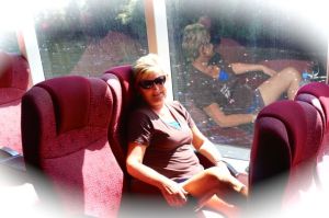
Devonport, Tasmania. From left: Rod, Dearne, Yvonne, Paddy
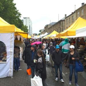
We spent our last days in Tasmania staying in Devonport with an ex shipmate of Rods, Paddy Haddock. Paddy and his wife Yvonne have retired to Tasmania from Brisbane and both are very much part of the ‘art and craft’ scene in Devonport. Rod always knew Paddy was ‘crafty’ but not in the sense of today. Many thanks guys for a great couple of days and we look forward to returning your hospitality when you visit over our way.
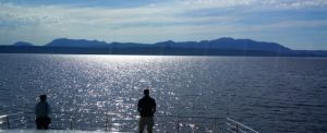
We caught the ferry on Sunday night back to Melbourne to prepare the motorhome and ourselves for our return home. On arrival Melbourne on Monday morning we met with our shipping agent who advised us that the ship now wanted the motorhome on the wharf on Thursday 5 March rather than Friday 6th March. This threw us into a Plan B as we had organised the internal and external cleaning of the van for the 4th and 5th March. We are now expert at Plan B’s.
We still had to pick up our bits and pieces from Brian and Louise’s some 60km south of Melbourne in Frankston so we decided to make our way there on the Monday and stay overnight. We drove back into Melbourne today and are staying at a Big4 Holiday Park in the city until we have to deliver the van to the shippers on Thursday. We managed to get most of the van spic and span today and are now sitting back and relaxing with a few wines to celebrate the end of our wonderful journey. We will finish it all off tomorrow.
We were asked today what we would miss about Australia when we return home. We gave this considerable thought before responding. A few wonderful things stand out for us:
- We will miss the daily occurrence of getting up in the morning and not having a clue which direction we will head or where we will end up for the night. Mystery is magical!!
- We will miss the new friends we encounter on the road everyday. We were on the same journey but maybe in a slightly different way. Five o’clockers will not be the same without you.
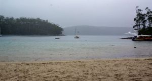
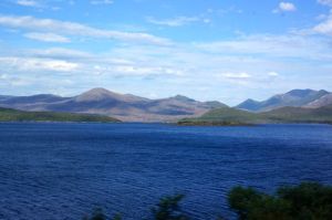
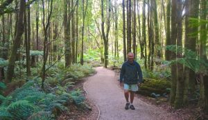
- We will miss the climate. Nearly two years on the road and only 30 days of rain, eight of which were in our last month in Tasmania. We have loved the sunshine and the temperatures but have to admit the 40C to 45C days were testing. No complaints tho’.
-
Not sure who he belongs to but he made himself at home with us in Melbourne
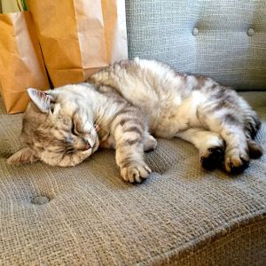
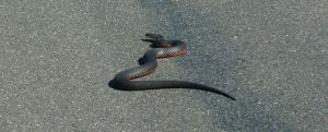
We have loved the wild life here. Parrots in the motorhome, magpie in the motorhome, wallaby and kangaroo resting in the shade of the motorhome, wild dingo at our door, snakes and lizards of all sizes around the motorhome and of course the odd domestic animal that thinks we would make good ‘parents’. This grey cat popped in tonight and shared our shrimp meal followed up by a bowl of warm milk. We have a feeling he is going to get a bit grumpy when we put him out tonight.
It is with great sadness that this will be our last blog update from Australia. We return to New Zealand and home on Saturday 7 March where we will start to plan our next adventure whatever that may be. We would like to thank everyone who has taken an interest in our travels and have followed us through the blog over the last two years. Your many comments, emails, phone calls and texts have kept us in touch with home, family and friends. If you are thinking of doing a similar journey, we would be only too happy to give you the benefit of our experiences.
What now with the blog? Our plan is to leave it up as is for the time being. Many travellers are using our road map as an reference for their travels. We are also being encouraged to turn the blog into a book. A new skill would have to be learned me thinks to make such a project a best seller. We shall see! You can be sure we will add to the blog when we get back on the road again.
Take care all and we would love to see you down at ‘the beach’ sometime.
Rod and Dearne


Recent Comments